Layout Robots
LASER ACCURACY
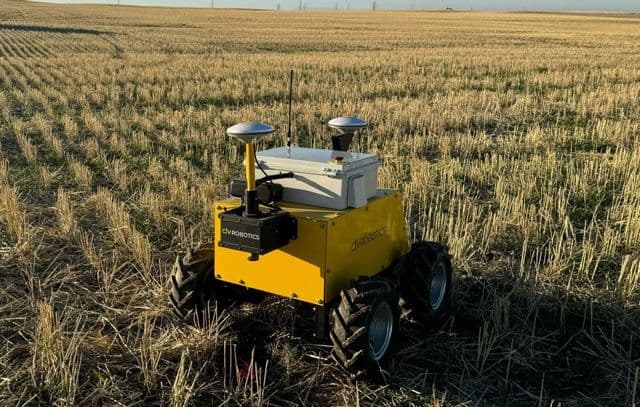
CivDot+
- Precision that reduces reworkAchieve 3/100' (8 mm) accuracy for pre-drilling, piling, and foundations
- Simple for anyone to operateUpload your plans and start marking with intuitive software—no surveying experience required
- More output with less laborMark up to 1,200 points per day with a single operator
LAYOUT LINES
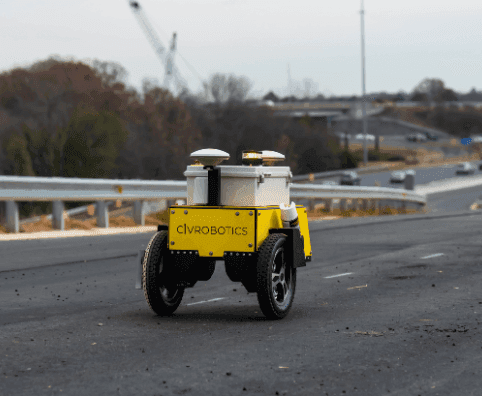
CivDot Mini
- Precision in every lineMark points, curves, and dashed or solid lines with sub-inch (2cm) accuracy
- Simple from the startUpload your design, select your lines, and let CivPlan guide the operation
- More miles with less effortLay out up to 17 miles daily without pulling tapes or string lines
DATA
Support CSV and DXF files in local and state plane coordinate systems
TOPO
Capture the ground elevation of every coordinate laid out
GNSS
RTK corrections using NTRIP or Trimble, Topcon, and Leica base stations
Testimonials
Here's what top EPCs share about us
Contact Us
Loading form...
Revolutionizing Land Surveying

© 2026 Civ Robotics inc. All Rights Reserved.