
Introduction
Looking to upgrade your surveying equipment to eliminate costly layout errors, beat labor shortage, and keep tasks on schedule?
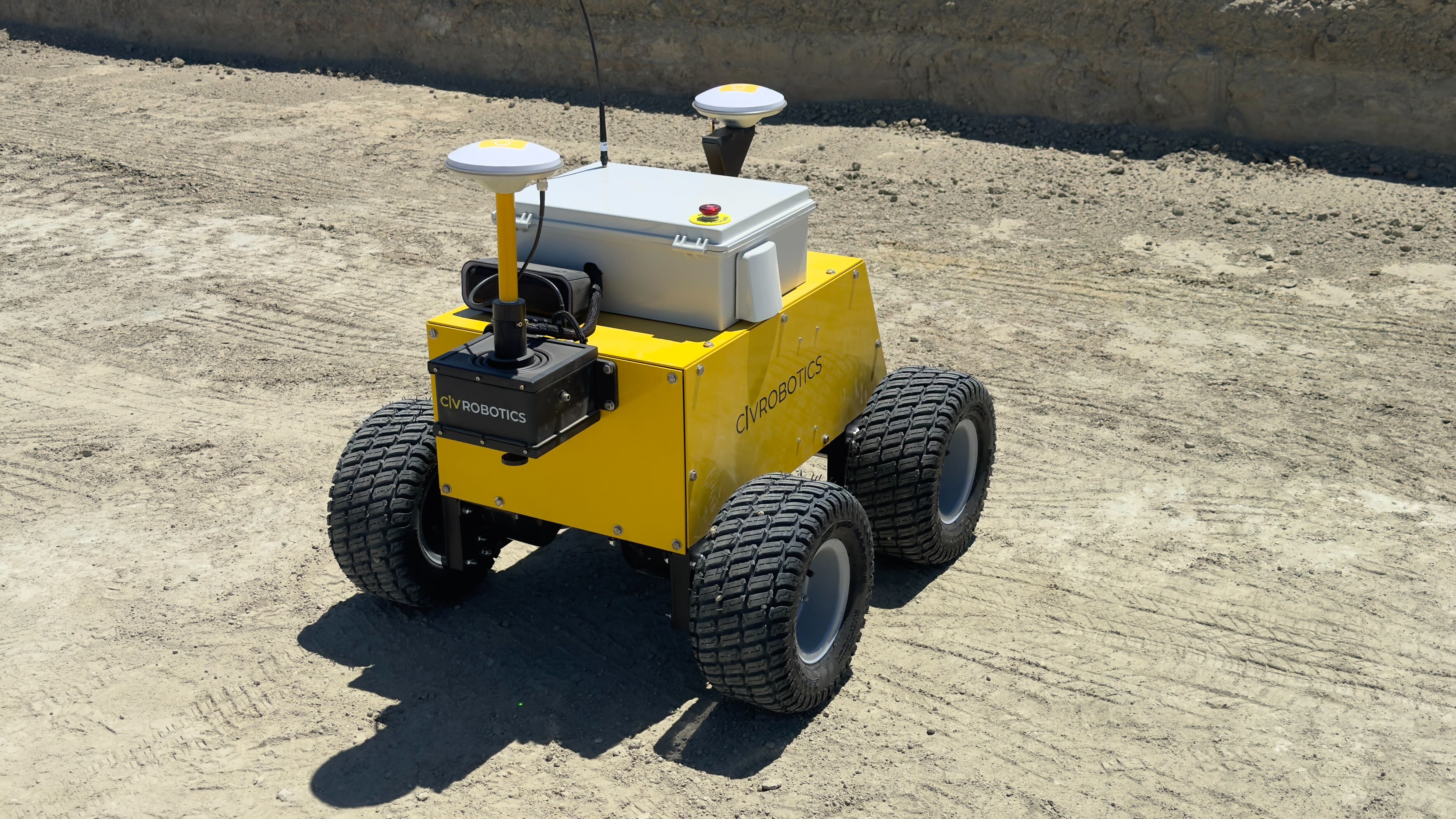
CivDot and CivDot+ by Civ Robotics are two powerful, robotic survey equipment solutions designed to tackle the biggest pain points in traditional land surveying. These UGVs (unmanned ground vehicles) automate repetitive layout tasks with sub-inch accuracy for a range of use cases, from utility-scale solar farms to heavy civil construction.
Each model helps crews reduce manual labor, avoid rework, and improve productivity while maintaining accuracy.
Overview of CivDot & CivDot+
Both CivDot and CivDot+ automate construction staking and layout tasks. These rugged UGVs replace hours of manual marking by laying out thousands of coordinates with survey-grade accuracy.
- CivDot is optimized for high-speed and volume, making it ideal for shakeout, earthwork moving, grade checking, trenching MV lines, ground improvements (wick drain), and more.
Click on the image below to watch CivDot in action-
- CivDot+ brings increased accuracy and is best for tasks that require tighter tolerances like piling, drilling, and ground screws. Additionally, CivDot+ can do everything that CivDot marks.
Click on the image below to watch CivDot+ in action-
Key Differences Between CivDot and CivDot+
GNSS Receiver & RTK Capabilities.
Both robots deliver survey-grade accuracy with RTK corrections. CivDot reaches up to 1/10' (3 cm) accuracy, whereas CivDot+ goes further, delivering up to 3/100' (8 mm) precision for critical layout points where tolerances are tighter.
Size, Speed, & Terrain Handling
CivDot is faster. It can mark up to 3,000 points/day (6 points/min), making it ideal for large, repetitive jobs.
CivDot+ trades some speed for precision, marking up to 1,200 points/day (3 points/min).
Both units tilt compensation and work in extreme weather. CivDot+ includes an advanced laser pointer for better precision even in challenging, uneven terrains.
Layout Marking Mechanism
CivDot utilizes spray paint marking mechanism, enabling the robot to mark thousands of points quickly. CivDot+ uses a laser pointer.
Which Robotic Surveyor Fits Your Needs?
Still not sure which robot to pick for your task at hand? Let's dive deep with a few use cases.
✅ Use CivDot When:
1: Pile Staging (Shakeout)
Goal: Drop piles near layout points before pile driving.
- Mark thousands of pile locations quickly
- Used by EPCs like Bechtel to reduce shakeout time by up to 6x.
2: Trenching
Goal: Mark trench lines for conduit, MV lines, or drainage.
- Mark trench lines at regular intervals (every 10’, 20’, 40’) to match plans.
- Avoid collisions with piles to streamline trench routing.
3: Fencing
Goal: Accurately mark perimeter lines for fencing around solar farms.
- Efficiently locate fence post points, ensuring the perimeter is properly laid out - without gaps or overlaps.
- Support fencing for security, safety, and ecological conservation.
✅ Use CivDot+ When:
1: Piling
Goal: Precisely mark pile coordinates for driven piles.
- Great for pile layout alongside standard pile drivers. Even with a GPS-enabled pile driver, marking the pile coordinates has many benefits:
- Avoid looking at the screen while driving
- Improve worker safety
- Increase pile driving productivity by 10%
- Double verify pile position and type
2: Pre-Drilling
Goal: Accurately mark drilling spots where rock or hard soil exists.
- CivDot+ excels here due to its 8 mm precision, ensuring drilling starts exactly where needed.
- Prevent unnecessary rework and save time on rocky terrain.
3: Grade Checking & Cut/Fill
Goal: Validate surface elevation or prep areas for fill.
- Continuously collect elevation data during layout, ideal for cut & fill workflows.
- Great for base layer validation in roads and slabs.
4: Topographic Surveys (TOPO)
Goal: Measure contours and elevations across a site.
- Automatically record elevation at every point, or continuously as the robot moves.
- Help surveyors and engineers prepare topo data for BIM or earthworks.
5: Ground Improvements (Dynamic Compaction & Wick Drains)
Dynamic Compaction
- Use CivDot+ to lay out 5’x5’ or 10’x10’ grids for weight drop zones.
Wick Drains
- Robots accurately mark installation points for drain paths.
- Reduces field labor and eliminates manual staking errors.
Automation doesn’t just boost speed - it reduces risk, improves quality, and keeps your crew focused on higher-value tasks.
Conclusion
Whether you need high-speed layout for utility-scale solar farm sites or tight-tolerance piling on complex sites, Civ Robotics has you covered. CivDot and CivDot+ help teams boost productivity, reduce errors, and deliver layouts with confidence.
👉 Ready to automate your layout? Request a demo or talk to our sales team
FAQs
How do I choose between CivDot and CivDot+?
Depends on your task, site conditions, and accuracy needs. CivDot is faster; CivDot+ is more precise.
Can CivDot and CivDot+ work with Trimble?
Yes, both robots are compatible with Trimble and other industry-standard survey equipment.
Do I need survey experience to run it?
Nope! The robots are designed for operators without a surveyor background. Setup is guided and intuitive.
Can it handle slopes or hills?
Yes. The built-in IMU compensates for tilt on slopes up to 30°, keeping layouts accurate.
Can I connect it to my base station?
Yes. CivDots works with most GNSS brands including Trimble, Topcon, and Leica.
What’s the difference between GPS vs GNSS for layout?
GNSS covers multiple satellite systems for greater coverage than standard GPS survey equipment, improving reliability in varied conditions.
© 2026 Civ Robotics inc. All Rights Reserved.